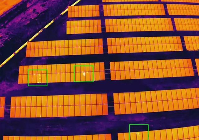
AI Imagery Analysis
Computer-vision models that surface anomalies, hotspots and defects across thousands of frames in minutes, reviewed by our engineers.
Analysis is the core of what we do, and it works on imagery from any source — yours, your operator’s, or a capture we arrange. Below that sit the aerial operations we run alongside it, including the drone cleaning we deliver with our own crews.
The core of the practice. These four run on imagery from any source — if you already fly, or have surveys sitting on a drive, send them over and we will take it from there. No capture of ours required.
Computer-vision models that surface anomalies, hotspots and defects across thousands of frames in minutes, reviewed by our engineers.
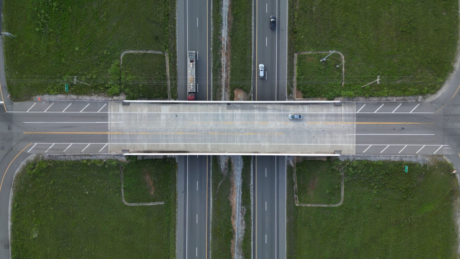
Photorealistic 3D reconstructions and point clouds — a living, measurable model of the asset you can inspect from your desk.
Trends across repeat surveys: how defects, volumes and site progress move over time, in dashboards and decision-ready reports.
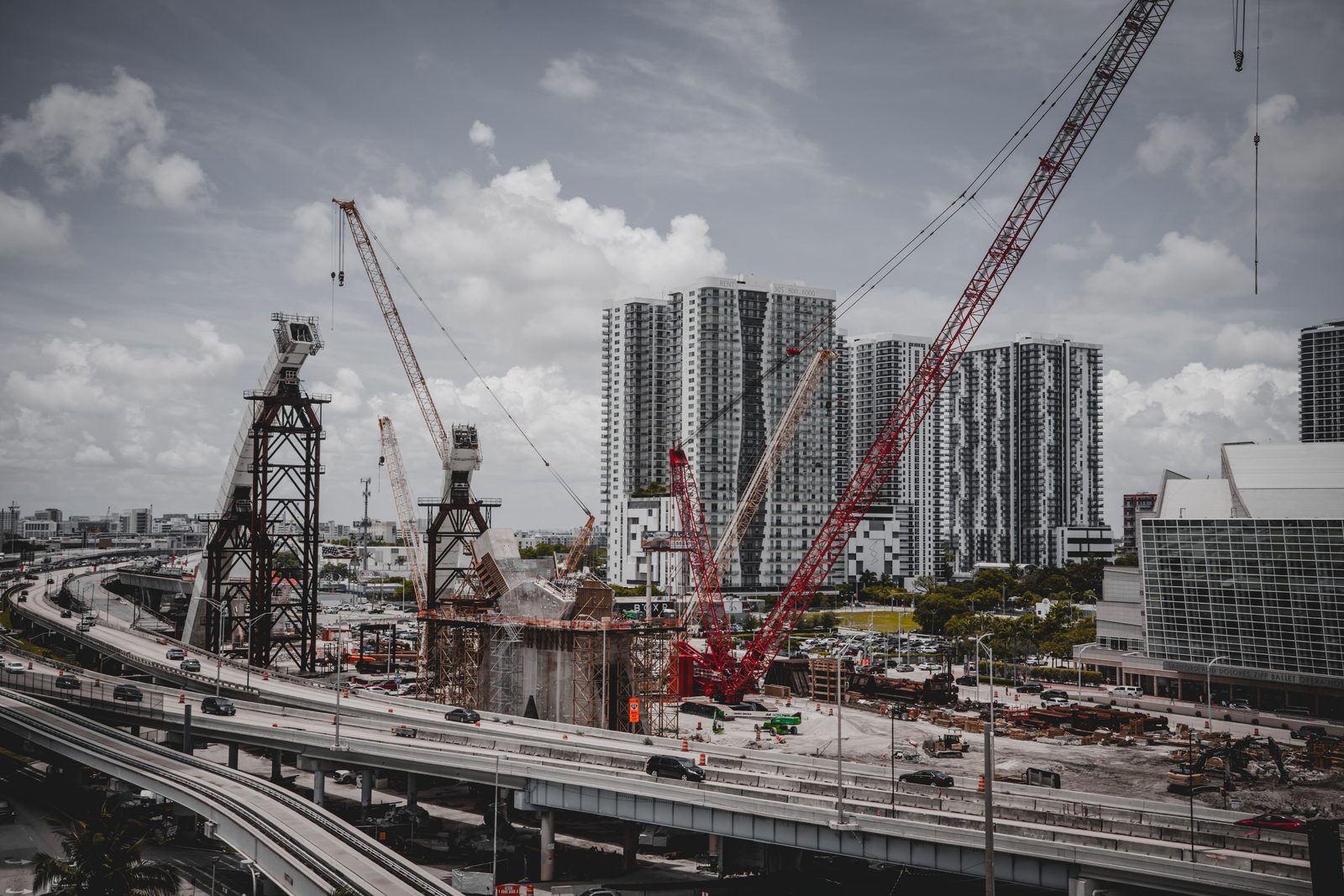
Expert-labelled training data for detection, classification and segmentation — for your models or ours.
When you need the capture as well, we scope the mission and brief a vetted partner operator to our spec, then process what comes back. Cleaning is different — those crews are our own.
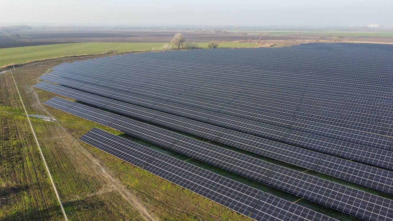
High-resolution RGB capture of solar farms, turbines, towers, pipelines and roofs — at height, with nothing shut down and nobody on ropes.
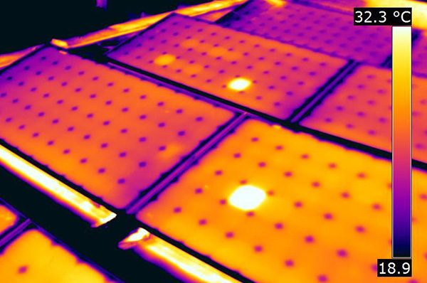
Radiometric thermal imaging that pinpoints faulty modules, overheating joints and insulation loss before they turn into failures.
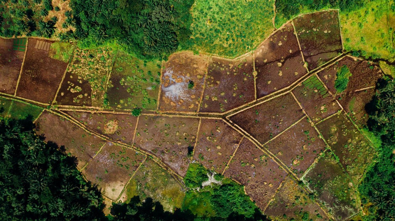
Orthomosaics, contours and volumetrics to survey grade, flown with RTK and ground control for planning and progress tracking.
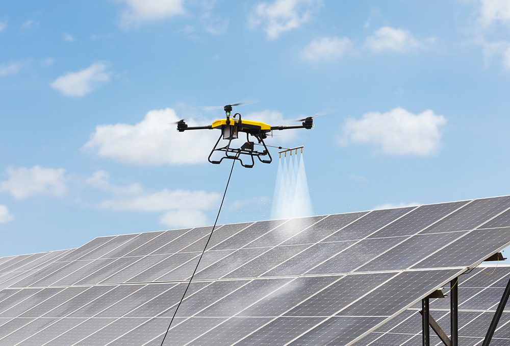
Drone cleaning for solar arrays, façades and glazing, roofs, silos and industrial structures — anywhere access is the hard part. Waterless or spray, with our own crews.
Every capability below is delivered in-house and stitched into a single, auditable pipeline.
A repeatable four-step pipeline that turns raw aerial data into decisions you can defend.
Imagery arrives from you, your operator, or a partner flight we scope and brief to our capture spec.
Photogrammetry & point-cloud engines build orthomosaics, 3D models and digital twins.
AI/ML models detect, classify and geolocate defects — validated by domain experts.
Actionable, prioritized reports and dashboards delivered straight to your teams.
Send us imagery you already have, or tell us about the site — we'll design the program around it.