Analyze
Our models detect, classify and geolocate defects across thousands of frames in minutes — every finding reviewed by an engineer before it reaches you.
Our services →VaayuSights is an aerial-data analysis practice. Send us drone imagery — yours, your operator's, or a capture we arrange — and we return ranked defects, digital twins, volumetrics and reports you can act on. We also clean solar arrays, façades and structures with our own drone crews.
 VaayuSights
The Intelligent Eye From Above
The asset captured from the air — by your crew, or by a partner operator we brief.
Thermal, LiDAR and multispectral pick up what the eye misses.
AI models classify defects and rank them by severity.
Repeat surveys show what is changing, so it gets fixed before it fails.
Analysis is what we do. Capture and cleaning sit either side of it — so your teams act on answers, not raw footage.
Our models detect, classify and geolocate defects across thousands of frames in minutes — every finding reviewed by an engineer before it reaches you.
Our services →Ranked findings, orthomosaics and digital twins, delivered in formats your teams already use — not a folder of raw images.
How it works →No imagery yet? We scope the mission and brief a partner operator to our capture spec, so the data arrives fit to analyse.
Who we serve →Aerial-data analysis across the industries where downtime, safety and accuracy matter most.
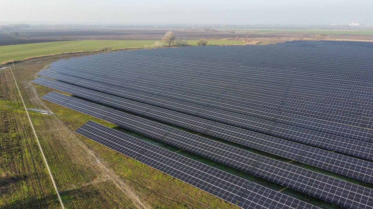
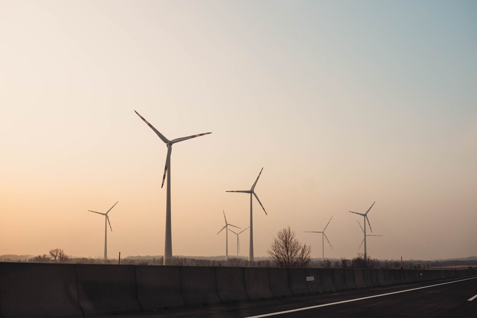
Solar & wind — thermal fault detection, blade inspection and performance analytics.
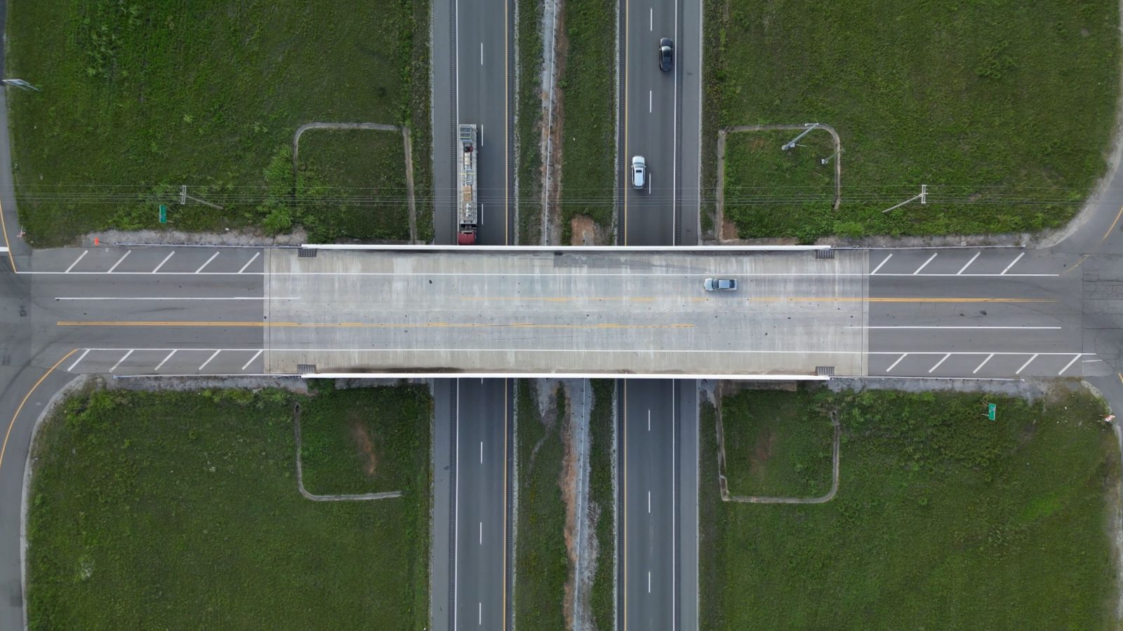
Roads, bridges & towers — condition surveys and geospatial documentation.
Plants & utilities — volumetrics, confined-space inspection and asset monitoring.
Real estate & enterprise — cinematic aerials, progress capture and surveillance.
The kind of imagery we work with. These are placeholders — swap in real project captures anytime.
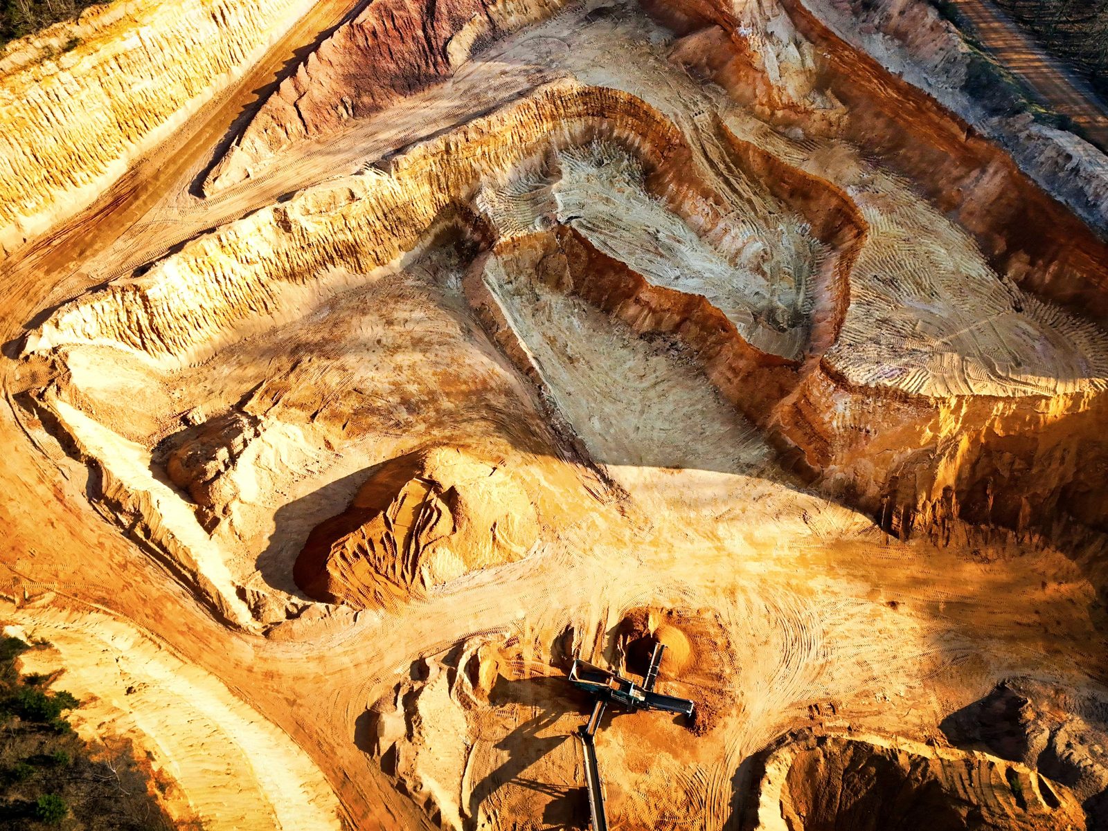
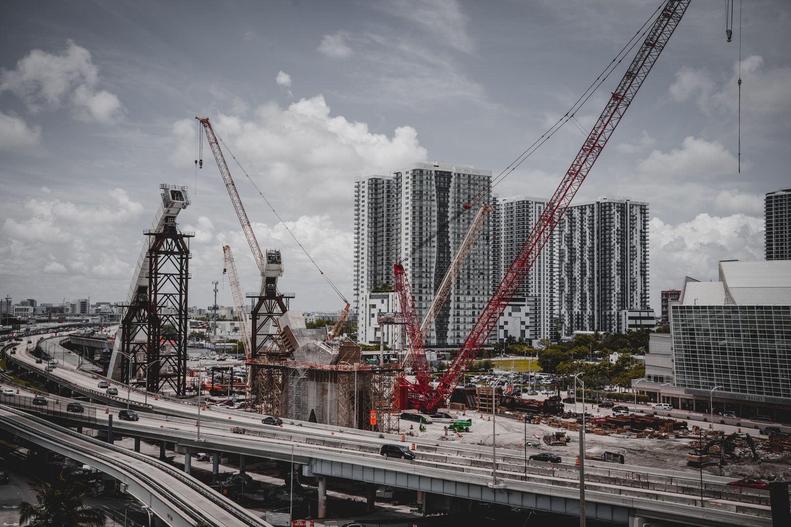
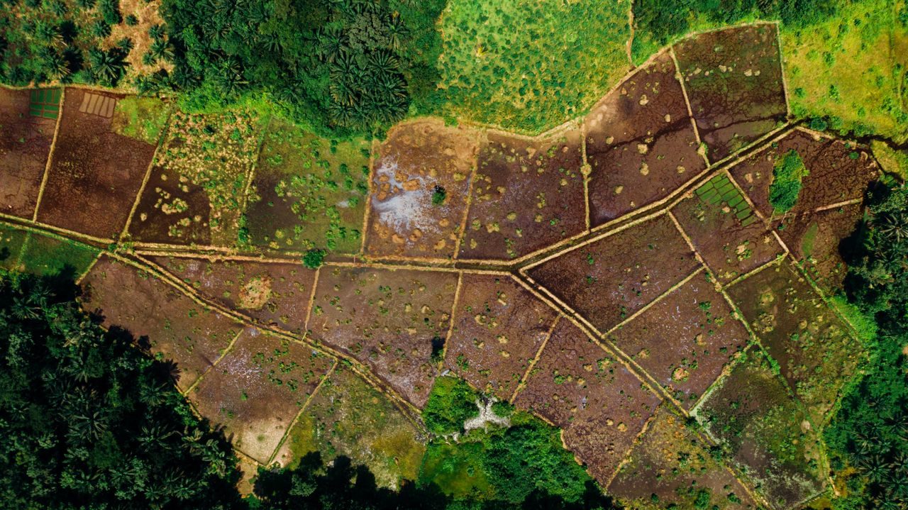
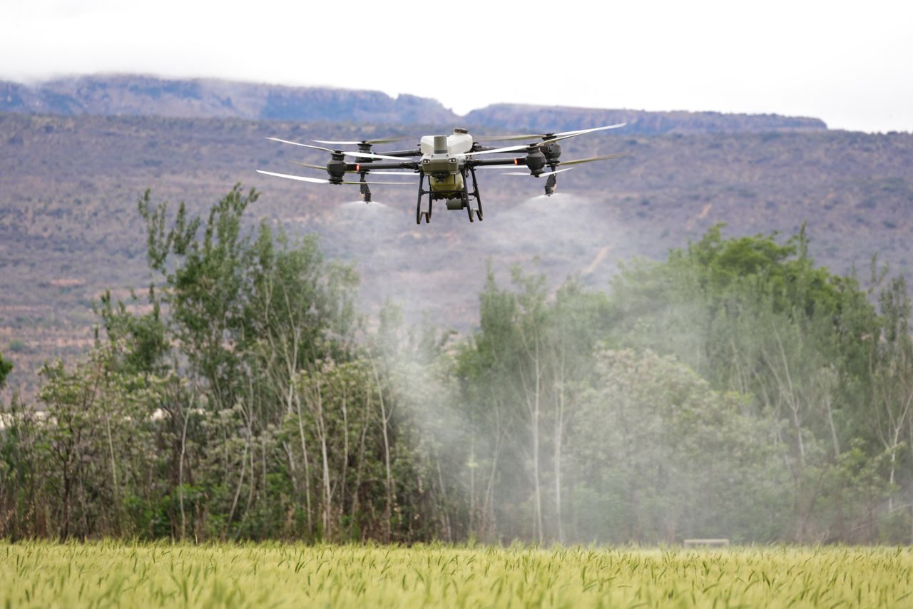
We combine drones, artificial intelligence and expert analysis so organizations improve safety, efficiency and asset performance — and make smarter decisions in a fraction of the time.
Sample testimonials shown for layout — we'll swap in your real client quotes.
“VaayuSights cut our solar inspection time dramatically and flagged faults we would have missed. Reports were ready the same week.”
“The thermal and LiDAR deliverables were survey-grade. Their team handled capture to reporting end-to-end — one point of contact.”
“Accurate volumetrics and progress monitoring across sites, without shutting anything down. Exactly the visibility we needed.”
Send us imagery you already have, or tell us about the site — we'll design the program around it.